
The Role of Village Greens in Community Life
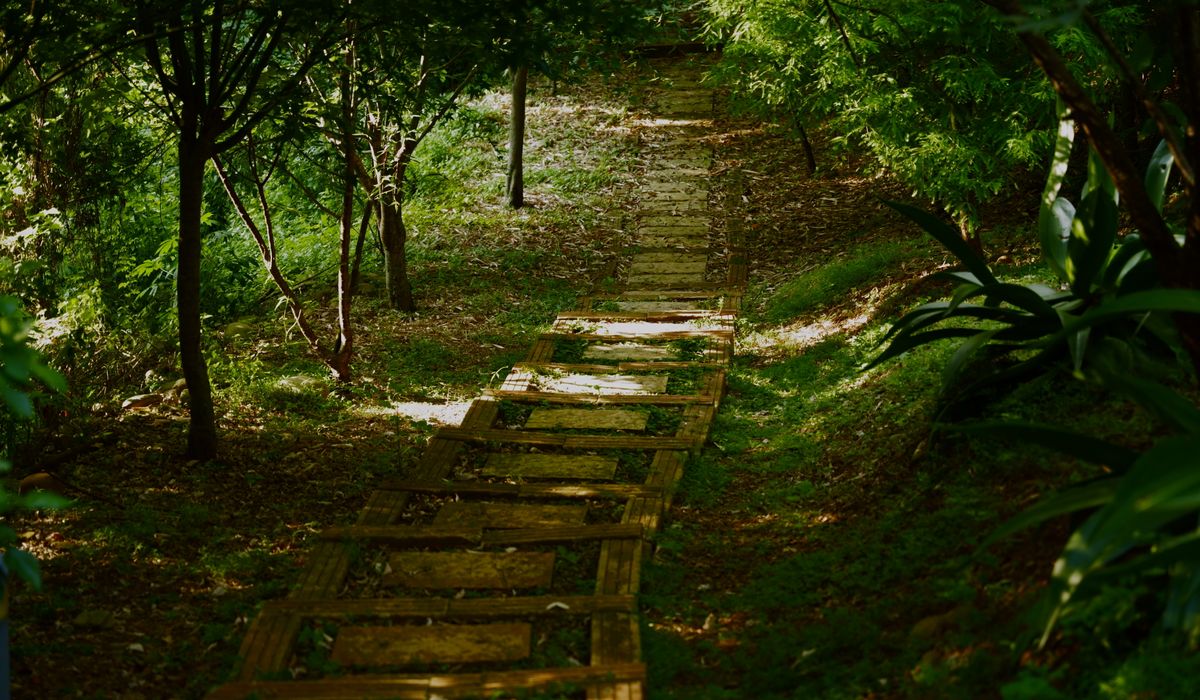
Walk almost any British neighbourhood and you will eventually notice something that does not quite fit: a long, grassy bank running behind the houses, a brick arch carrying a lane over nothing in particular, or a length of stone platform half-buried in brambles. These are the fingerprints of a lost railway line. Tracing its route is one of the most rewarding kinds of local history, because the evidence is not confined to archives. It is part of the everyday landscape.
Why the past is still underfoot
Victorian railway builders thought in straight lines and gentle gradients. Where the land refused to cooperate, they cut through hills and raised embankments across valleys. Those earthworks were expensive, so they were built to last. Even after the tracks were lifted and the stations demolished, the shape of the route often survived. A footpath that runs dead straight for half a mile, a property boundary that curves in a wide arc, or a row of Victorian terraces set back from the road at an odd angle can all point to a railway that has vanished from the map but not from the ground.
Begin at the desk, with maps and records
Before you pull on your boots, spend an evening with historical maps. Large-scale maps from the late nineteenth and early twentieth centuries show station buildings, goods yards, sidings, signal cabins and even individual trees. Compare a map from the 1890s with one from the 1950s and you can see how the line grew, changed or declined. Later editions may show a station already closed, a siding lifted, or a branch reduced to a single track.
- Large-scale maps: the 25-inch-to-the-mile series is ideal for station layouts and goods yards.
- Smaller-scale maps: the six-inch series helps you follow the route across a wider area.
- Tithe and enclosure maps: these pre-railway records show old field boundaries, making it easier to spot where a line cut through the landscape.
- Local newspapers: opening ceremonies, accidents, timetable changes and closure notices are often reported in detail.
- Council records and historic environment records: these may list bridges, cuttings and station buildings as locally important heritage assets.
If your local archive holds photographs or sale particulars, look for images of the station in use. A single photograph can explain why a platform faced a particular way, or where a footbridge once stood.
Reading the route on foot
Now walk the line, but stick to public footpaths, bridleways and permissive paths. Never trespass on private land or enter unsafe structures. The best clues are often subtle. A hedgerow that runs along the top of an embankment may be older than the railway itself, kept as a boundary. A cutting may have brick retaining walls, ferns and damp-loving plants. Culverts, small tunnels that carried streams under the line, often survive beneath the trackbed.
- Bridge numbers: small plates or carved stones on bridges and culverts can identify a specific structure.
- Mileposts and gradient posts: these once told engine crews exactly where they were.
- Gateposts and stiles: occupation crossings often left sturdy stone or iron posts behind.
- Reused sleepers: look for them in garden walls, steps and fence lines.
- Ballast: the gritty, reddish or greyish stone underfoot is a strong sign of a former trackbed.
Station sites are especially rewarding. You might find a length of platform edge, a ramp down to a goods yard, a coal drop, a weighbridge or the foundations of a water tank. Nearby streets may be named after the railway, and a converted station house may still face the old trackbed.
Structures that give the game away
Bridges and viaducts are the most dramatic survivors. Brick or stone arches, iron girders and deep cuttings can remain long after the rails have gone. Tunnel portals, with their imposing masonry and dates carved above the entrance, are often fenced off but visible from public paths. Smaller structures matter too: retaining walls, cattle creeps, boundary markers and the occasional signal post. Even a hump in a road can betray a bridge that was later removed.
Buildings, memories and local archives
Many station buildings became homes, offices or shops. Goods sheds turned into warehouses or workshops. A row of cottages may have housed railway workers. Look for tell-tale details: tall chimneys, wide doors, stone sills, or a platform edge running through a garden. Oral history is just as important. Older residents may remember trains, stationmasters, coal deliveries or the day the last train ran. Record their memories while you can, and ask whether they have photographs, tickets or timetables tucked away.
Recording and sharing what you find
Keep a simple notebook or digital record. Note grid references, dates, descriptions and photographs. Sketch the route over a modern map, marking bridges, cuttings, platforms and any surviving buildings. Be clear about what is publicly accessible and what is private. If you discover something significant, tell your local history society, civic trust or archive. A well-documented walk, a small exhibition or a guided ramble can bring a lost line back into local conversation. The railway may have gone, but its route is still there, waiting to be read.
LEAVE A COMMENT